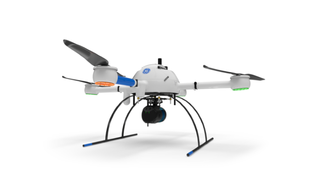
GE industrial drone line mdLIDAR1000LR/ Image: Microdrones, all rights reserved
GE (General Electric Company) is a 129-year-old U.S.-based company that is notable in aviation, healthcare, power, renewable energy, manufacturing and more. Earlier this month, GE has entered the drone and UAV (unmanned aerial vehicle) markets with its worldwide licensing partnership with Microdrones. Microdrones is an industry leader in professional drone survey equipment, and known for complete and reliable mapping systems for precision agriculture, surveying/inspection, mining, construction, oil & gas industries.
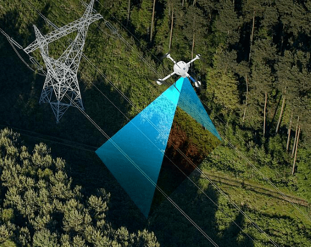
The GE industrial drone surveying and mapping the terrain/ Image: Microdrones, all rights reserved
Together, Microdrones and GE released the GE industrial drone line, the mdLIDAR1000LR. The drone can create and maintain digital twins (the real-time virtual counterpart of a physical object), digital terrain models, maps and other geospatial data. The new GE industrial drone is equipped to collect more data at longer ranges, which is helpful for steep terrains and covering more area per flight. However, what this means for GE is a deeper involvement in agriculture. The company is already known for providing innovative energy solutions such as LED lighting in indoor farming and modern greenhouses, but now, the GE industrial drone can survey lands, collect and analyze data for monitoring and optimization. The drone is equipped with GPS, thermal sensors and more that can analyze soil and crop health, identify potential issues and mitigate losses, which improve efficiency and effectiveness. It may be equivalent to receiving the newest, hottest toy on Christmas for farmers.
The partnership between GE and Microdrones seems like a win-win-win for both companies and the agriculture industry. And it has started off in the right direction with their release on the GE industrial drone line, mdLIDAR1000LR, but they probably should work on the drone name. After all, two “heads” are better than one.